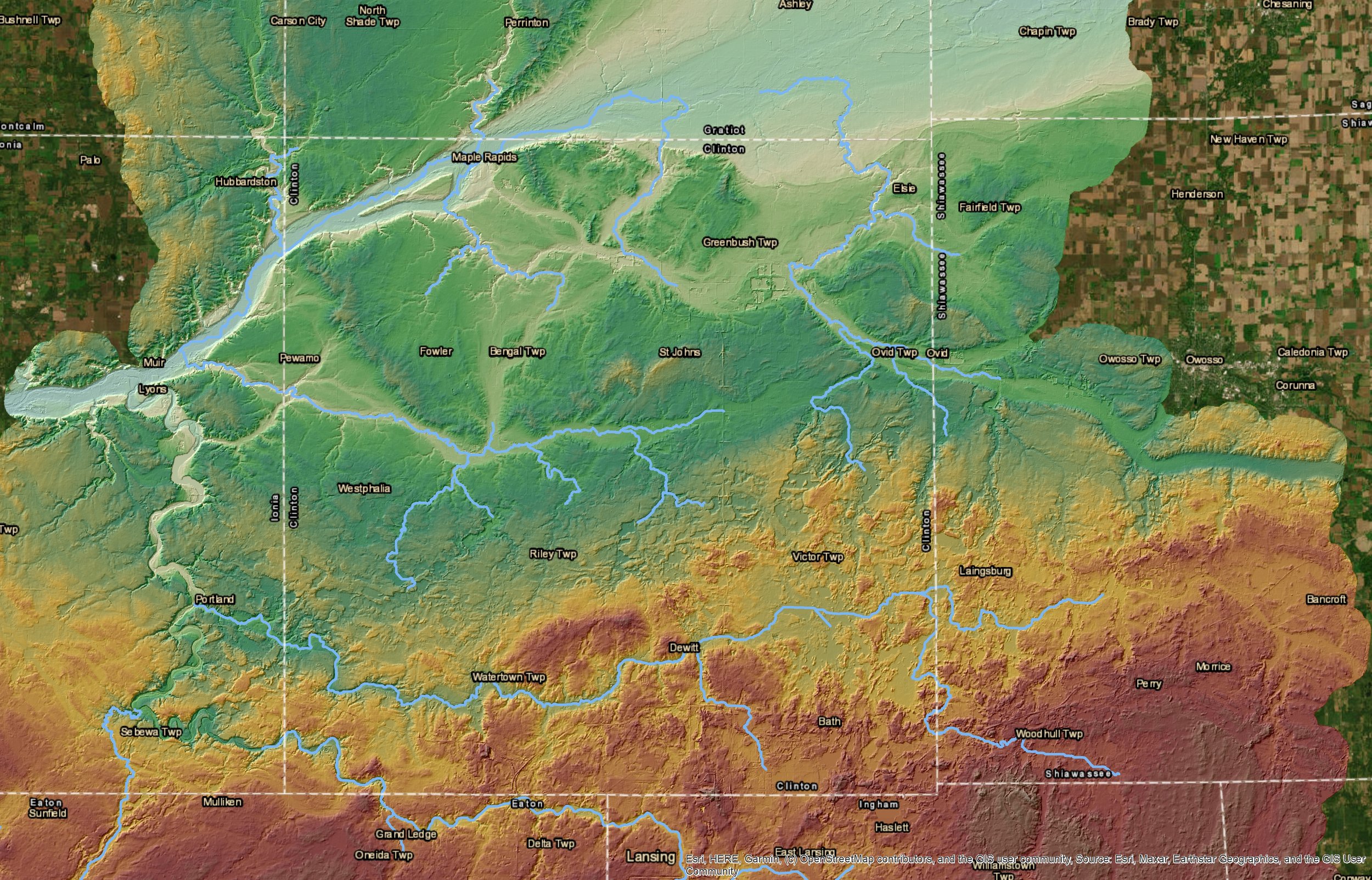
In the mid-Michigan region are three counties (Ingham, Eaton, and Clinton) who work together on common goals. Using FEMA’s HAZUS program and utilizing ESRI’s ArcMap 10.8.2 a catchment for encompassing all three counties was delineated, with DEM data incorporated. A 100 year flood analysis was then calculated and maps generated representing the extent of riverine flooding, as well as estimates of damage, loss, and casualty.